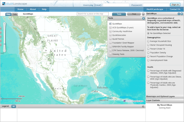
QuickMaps includes a collection of frequently-requested indicators with state, county, tract, and blockgroup (where available) level data. The QuickMaps module is turned on by default when you login to HealthLandscape, but it is also accessible in the tools menu.
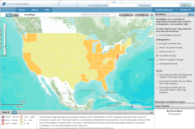
As you zoom in to smaller geographic areas, the map view will change from showing data at the state level...
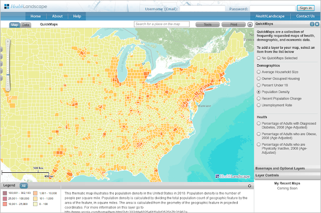
...to showing data at the county level...
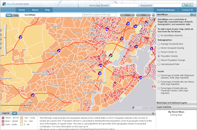
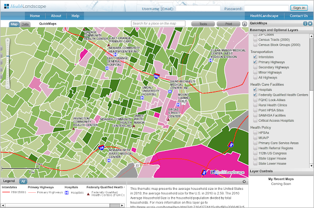
...to showing data at the census tract level and beyond, where available.
Basic Map Layers, including hospitals, health centers, geographic boundaries, and other features, can be added on top of the QuickMap selection to create more detailed maps.
Looking for data not currently featured in QuickMaps? Check out the American Community Survey (ACS) QuickMaps and Community HealthView. We will be detailing those tools in future blog posts!

No comments:
Post a Comment